The Red River

54.11 feet.
The Red River
|
54.11 feet. Photo: A. Hagen |
The Red River and the Red Lake River join just south of downtown. This is the origin of the name "Grand Forks".
The Red River Valley was the bottom of Lake Agassiz during the last ice age. The land is very flat, which means that flood water can spread a great distance from the river.
Torrents on a Tabletop - Grand Forks Herald article on the Red River Valley.
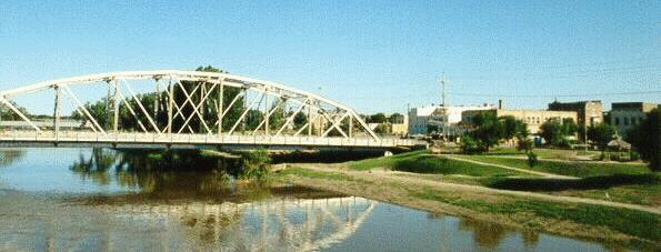 Red River and Downtown Grand Forks, July 1997. Photo: Alan Draves |
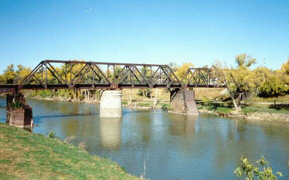 Red River and walking bridge, Oct. 1997. Photo: Alan Draves |
 This photo shows the "red" in the Red River. Photo: Brian Moe |
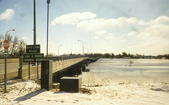 Murray Bridge and Red Lake River, Mar. 1998. Photo: Brian Moe |
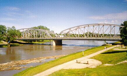
 Red River and Sorlie Bridge, Mar. 1998. Photo: Brian Moe |
|
Top | Grand Forks | East Grand Forks